🛰️🌍🌱 Geospatial Professional | Ecological Modeller | Vegetation Ecology
Message MeDownload CV
Hello! I am Emma L Underwood. My pronouns are she/her.
Most would describe me as a map-maker and passionate, intersectional environmentalist. My particular niche of geospatial skills place me at the intersection of ecology, spatial analysis, and conservation. Beyond core GIS, I have developed skills as a spatial ecologist, with a keen interest in ecological modelling. My most recent research focused on disentangling the local and global change drivers leading plants to shift their ranges in time and space.
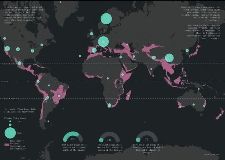
Academic Research in Plant Range Shifts
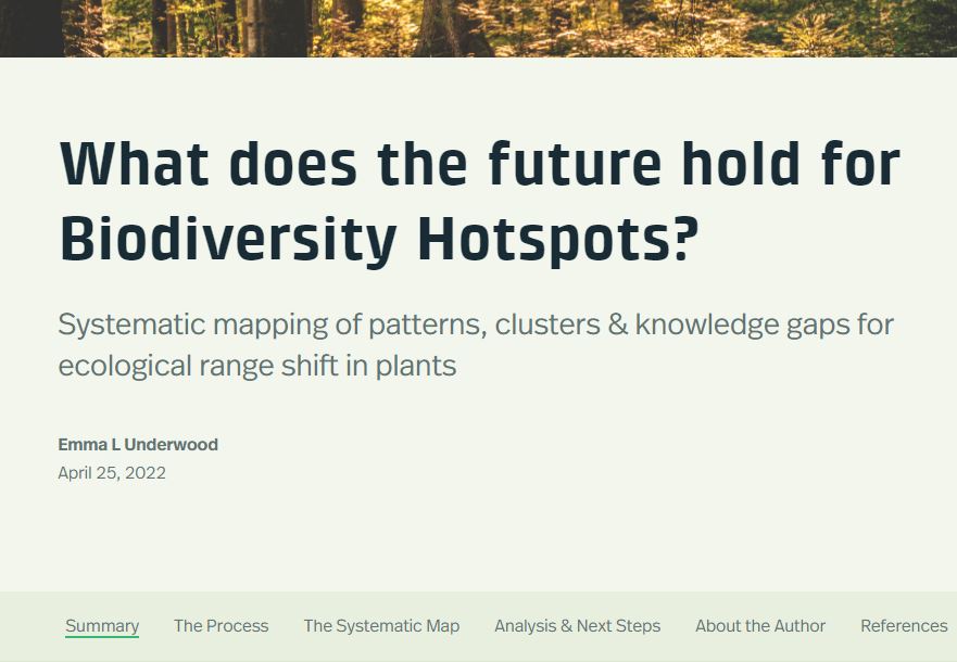
Disseminating research via Esri StoryMap
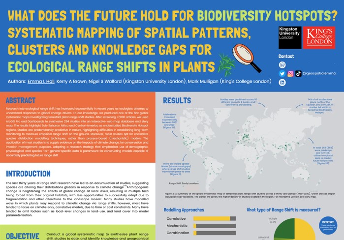
Winning PhD poster
Winning MRes poster
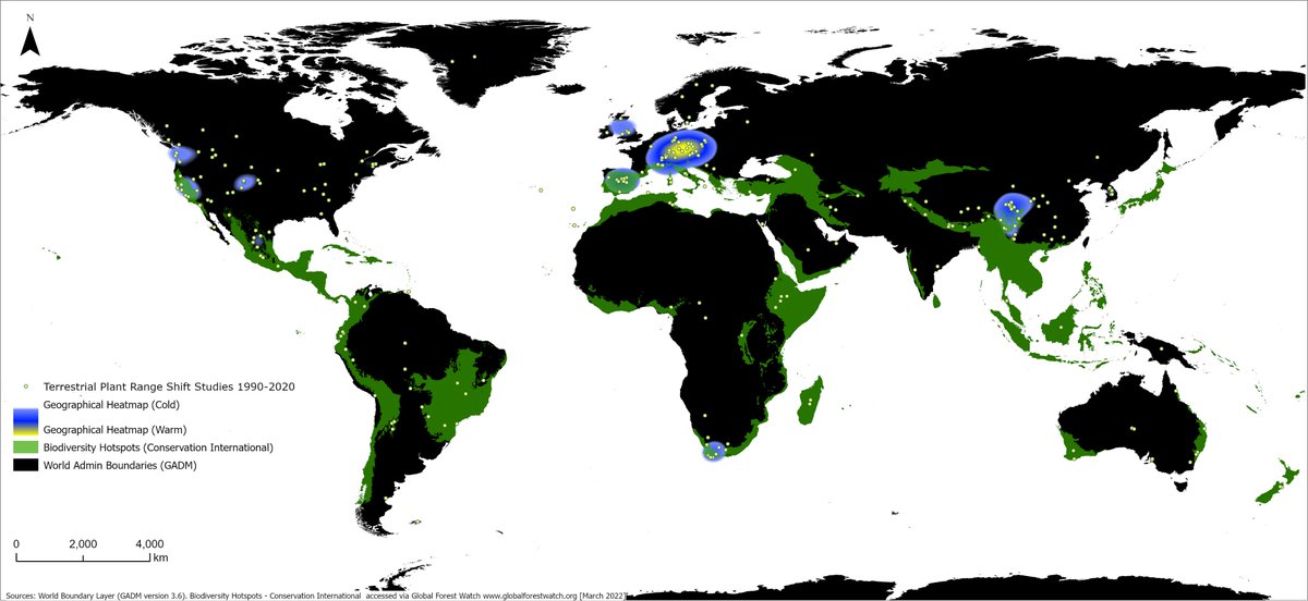
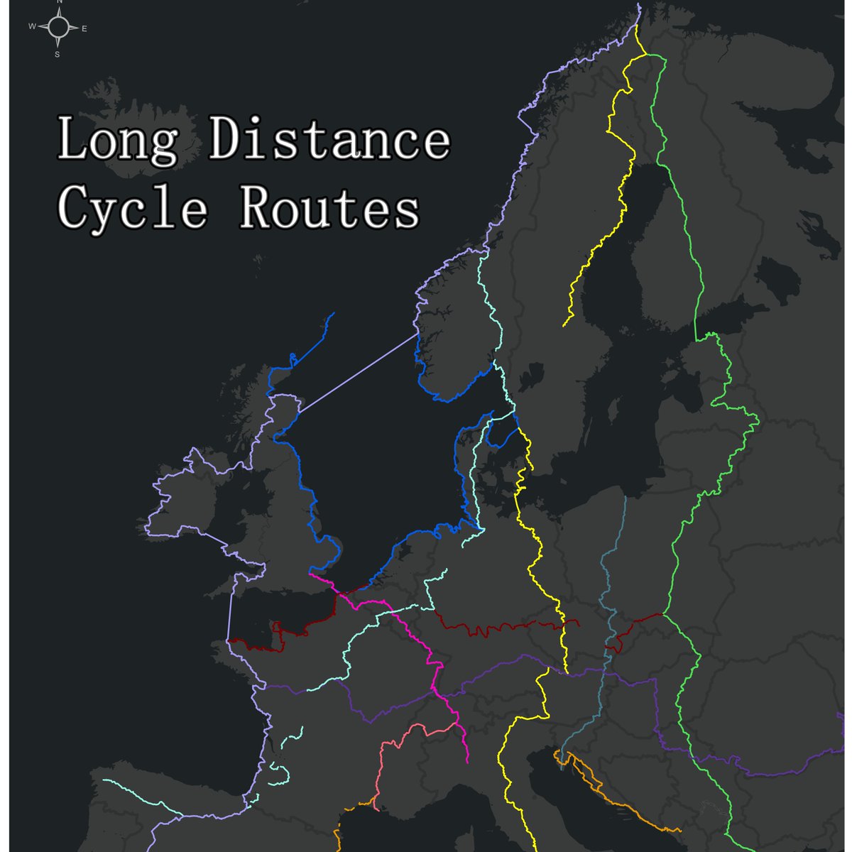
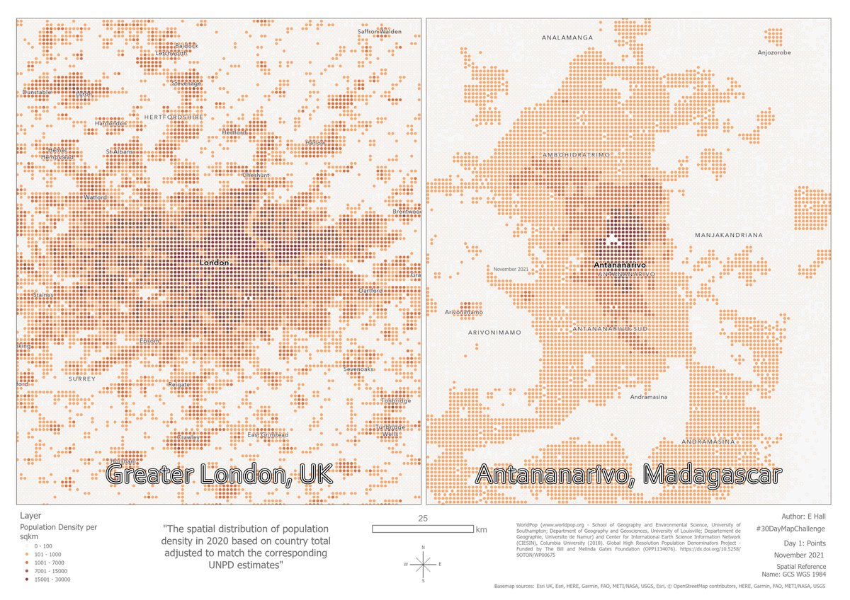
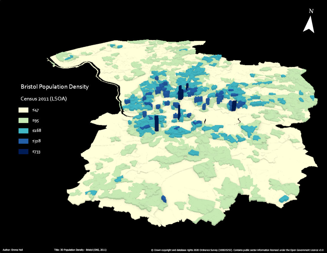
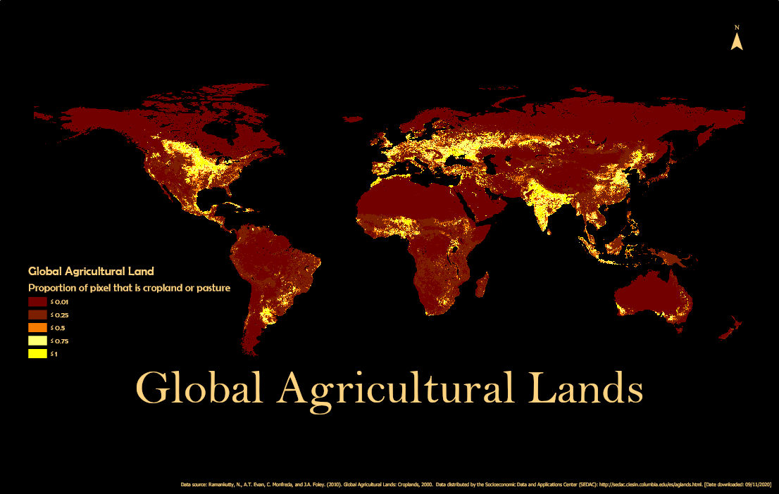
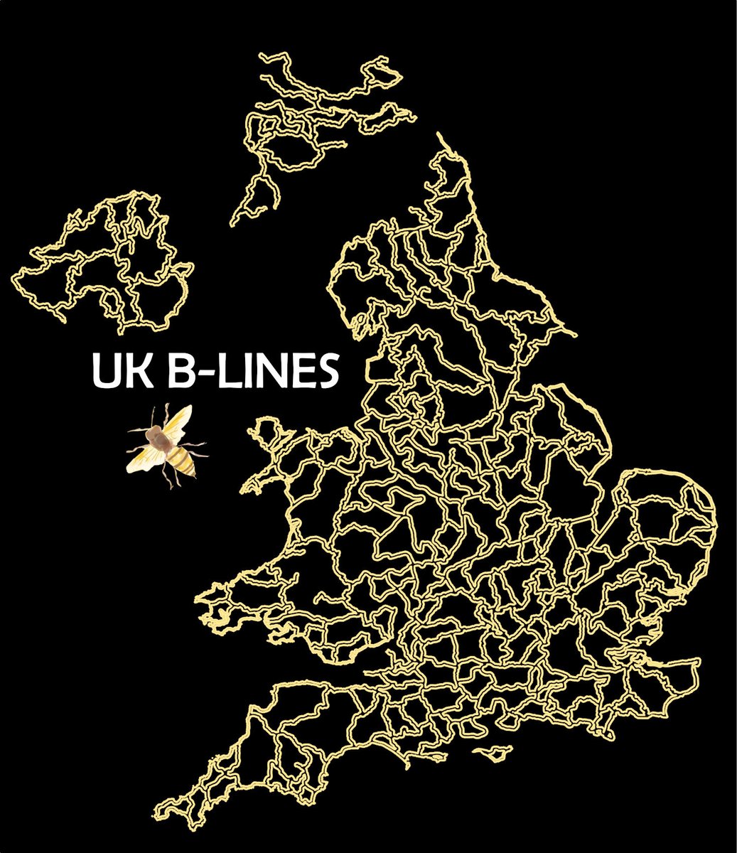
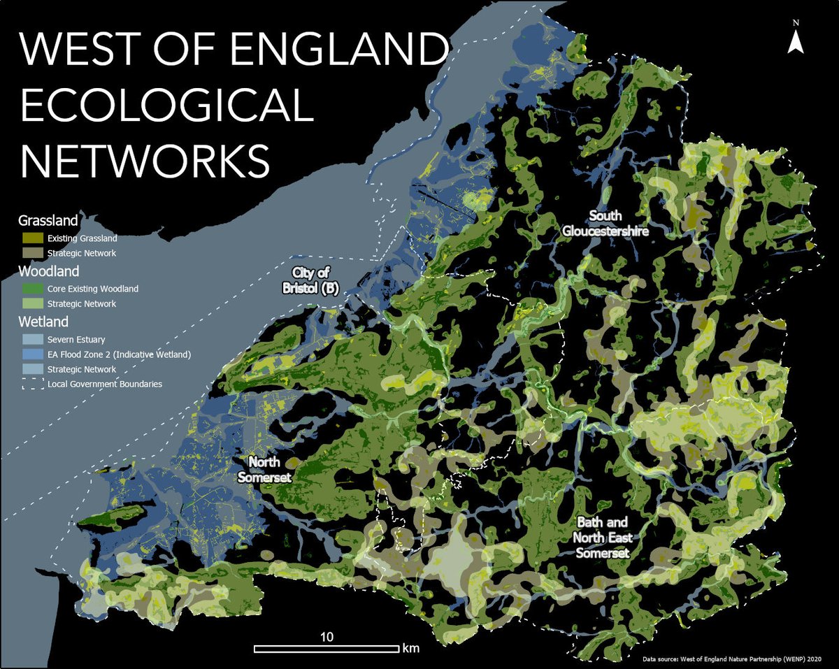
A small collection of maps produced by me
September 2023 - 2025
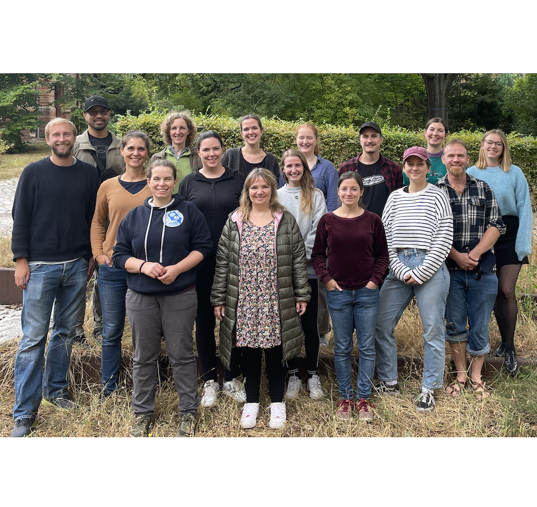
Supporting the EU-funded project BirdWatch within the Ecology/Macroecology Lab.
Masters level Remote sensing & GIS teaching support.
October 2020 - Present
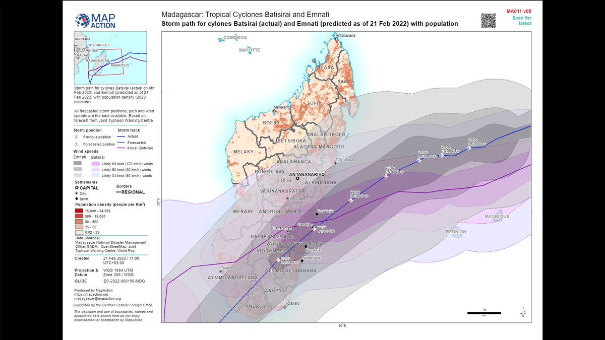
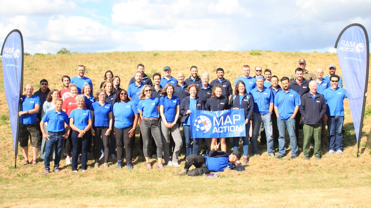
MapAction is a UK based, internationally focused, Humanitarian mapping charity which undertake emergency missions worldwide, without fee. I use my GIS skills to support emergency data collection, visualisations and analysis, both remote and in the field. #GISforGood
May 2020 - August 2023
Designed and delivered an introductory GIS lecture and a practical/demo class to students enrolled in the Conservation of Forest Biology (ConFoBi) Research Training Group Masters course.
September 2017 - November 2019
Delivered practical classes to Level 2 & 3 students studying on BSc Environmental Science, BSc Wildlife Ecology and Conservation Science and BSc Integrated Wildlife and Conservation (Bristol Zoo) courses. I liasised and advised with academic staff across the Department of Applied Science on module design and delivery to seamlessly integrate GIS learning. Supported data collection on UK and international field work. Managed the maintenance and monitoring of the state-of-the-art glasshouse used for research and teaching.
September 2013 - September 2017
Technical and visualisation support to the planning and development team at the worlds first green energy company, Ecotricity. Other internal roles included: Academy trainer, Community Liaison and IS09001 Quality Manager.
March 2013 - September 2013
Technical support to the GIS team at Bath and North East Somerset Council (B&NES).
Expected 2025-2026
Kingston University London
Thesis title: "Climate Change, Deforestation and Disease: Modelling Triple Threats to an Endemic Tree in a Tropical Biodiversity Hotspot ". Study area: Madagascar. Grant funding: Turing scheme funding (2025); Full studentship 2020-2023; Field work funding from Royal Geographical Society (with IBG) Postgraduate Research Award with support from Albert Reckitt and Dudley Stamp Memorial Award. Main skills developed: Predictive Modeling · Research · R (Programming Language). Awards: Public Engagement & Science Communication competition winner (2025-2023), Esri Jack Dangermond Young Scholar Award (2022), Best Poster Presentation at GISRUK Conference, Liverpool, UK (2022).
2019 - 2020
University of the West of England
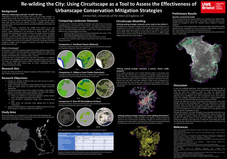
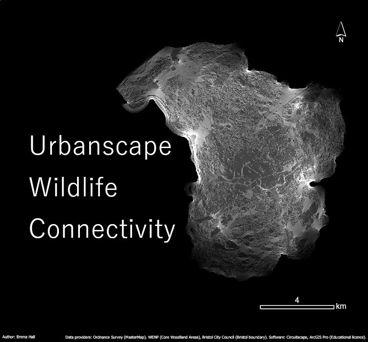
Thesis title: "Re-wilding the City: Using Circuitscape as a Tool to Assess the Effectiveness of Urbanscape Conservation Mitigation Strategies". Main skills developed: Predictive Modeling · Research · R (Programming Language). Awards: Esri User Conference Map Gallery Winner of category "Communicating Science Spatially", San Diego, USA (2020).
2018
Associate Fellow of the Higher Education Academy / University of the West of England
Postgraduate Certificate in Academic Practice (PCAP): Higher Education Theory and Practice (Module 1).
2009 - 2012
Newcastle University
Dissertation title: "Monitoring Continuous Cover Forestry using Remote Sensing and GNSS". Main skills developed: GIS, GPS & GNSS data collection, validation, analysis, visualisation, Remote sensing, Python programming, Photogrammetry, Engineering Maths
Senior Lecturer
Senior Lecturer at University of the West of England (UWE), former tutor during Masters research.
Ecologist
Ecologist (formerly, Ecotricity), oversaw all pre-planning permission projects, conducting ecological surveys, liaison with landowners and statutory agencies and acting as a link to the local community and universities.
Visiting Professor
Forest expert, formerly Forest Enterprise. Currently Visiting Professor at Southampton University. Skills and experience in: Forestry management, conservation, restoration, ancient woodland inventory, wetland establishment, heathland management, funding, and policy.
Location
Berlin, Germany